Hydrography / Bathymetry
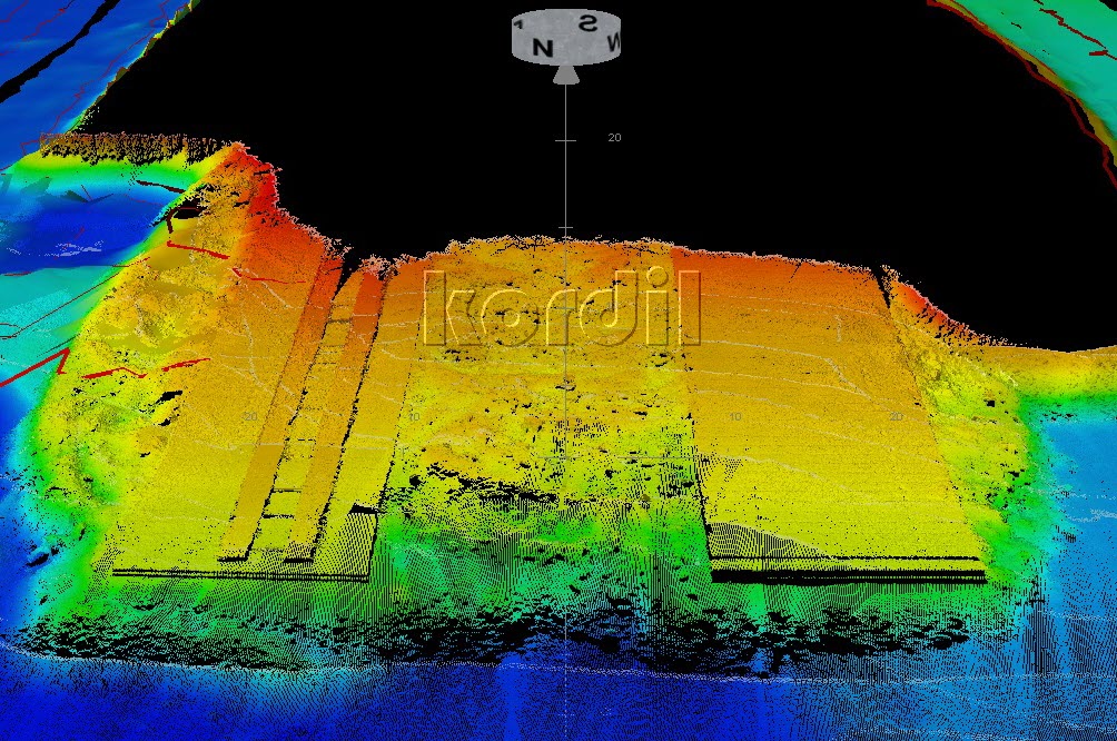
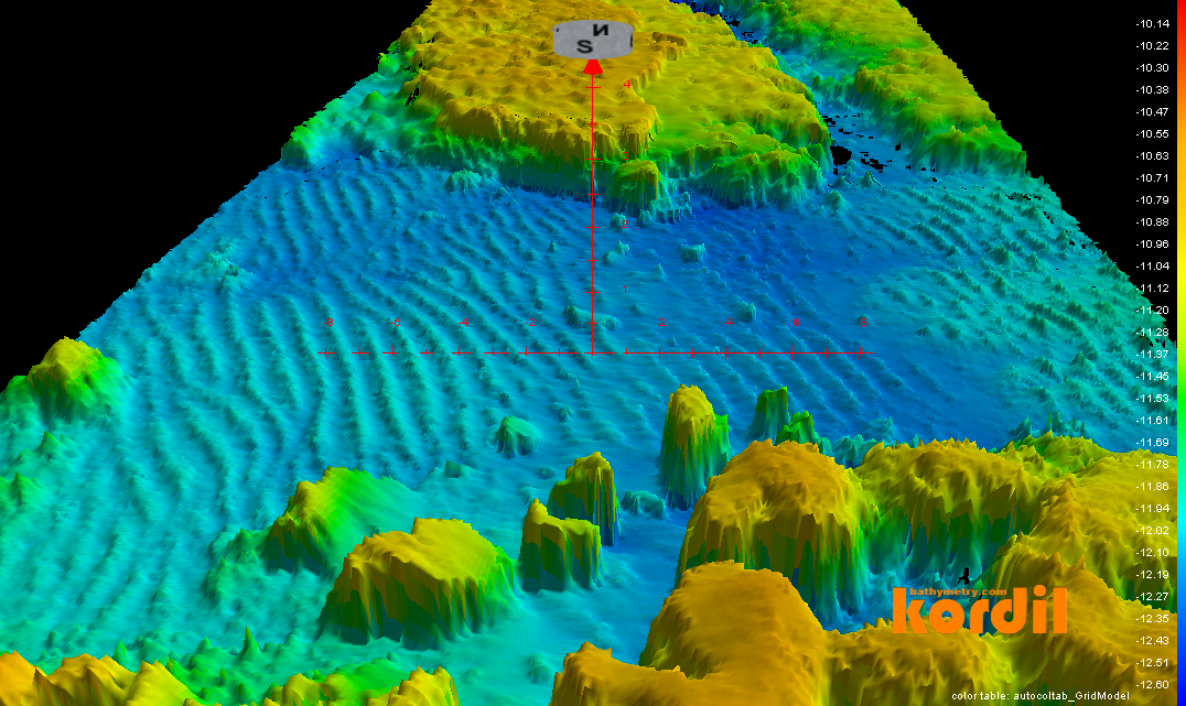
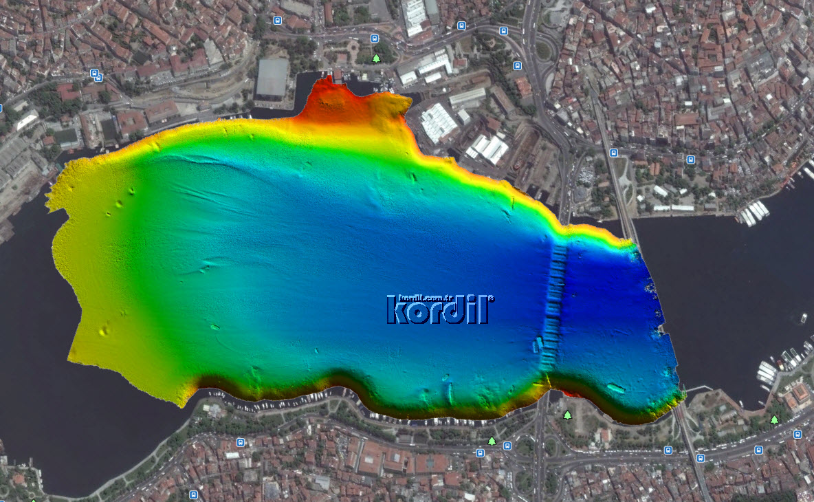
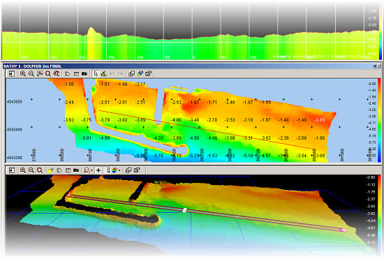
Kordil performed bathymetric / hydrographic survey over an area of 1 million hectares as of Jan 2020. Bathymetry is one of Kordil's field of competence in offshore industry. Kordil is not only performing surveys, also engineering offshore survey products such as single beam echo sounders (KBS200 and KBS30200) and developing software packages such as Kordil Bathymetry Studio which are extensively and widely in use in local market. Some of our fields of competence in bathymetry:
- Bathymetric surveys for ports, harbours, routes and construction
- Integrated multibeam, singlebeam, side scan sonar, backscatter and water column surveys
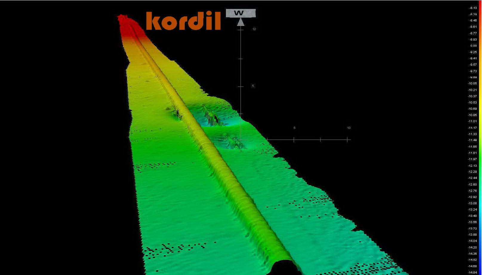
- High precision seabed topography and obstacle detection surveys
- Low cost dual and single frequency singlebeam bathymetric surveys
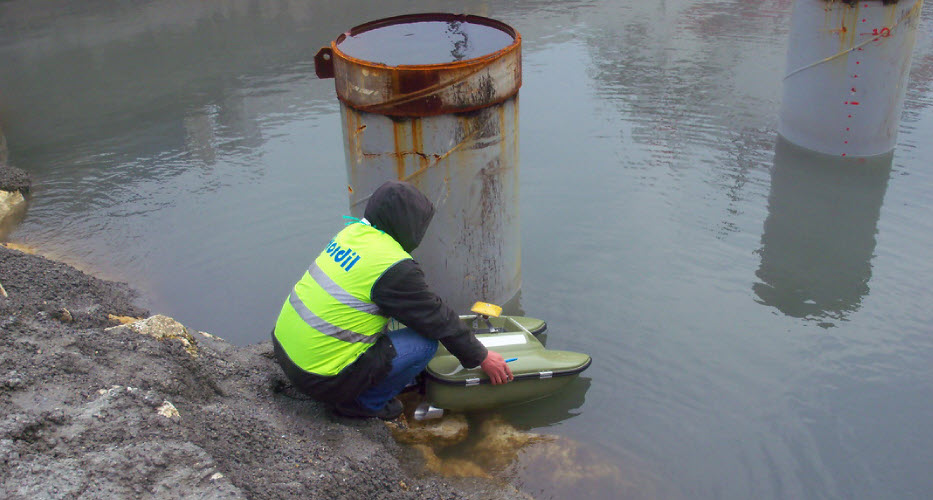
- Bathymetric surveys for ponds, discharge pools, rivers, channels with unmanned surface vessels
- Multibeam scanning with ROV for underwater inspection
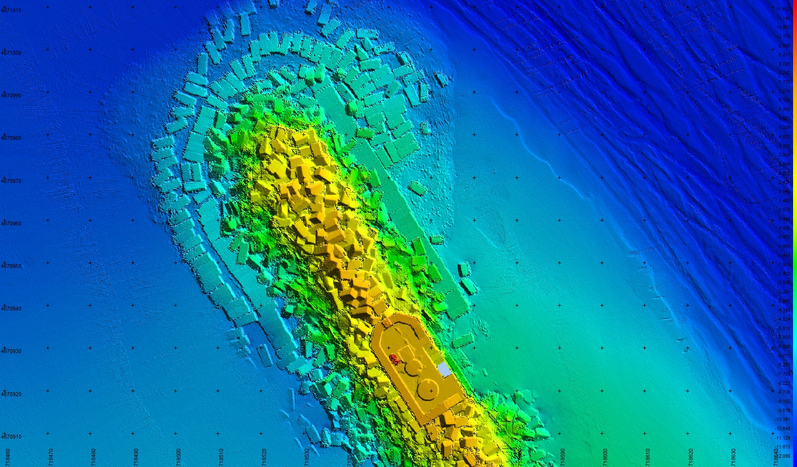
High Resolution Bathymetry with Multibeam Echosounder
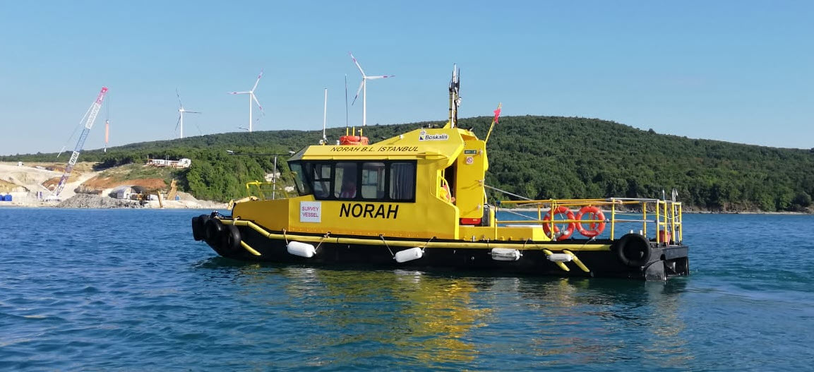
Kordil has high resolutions multibeam echo sounders in their inventory to perform high resolution seabed mapping from 0-600 meters depths. Kordil utilizes Norbit IWBMS series 200-400-700 kHz bandwidth multibeam echosounders with snippets, water column, backscatter and side scan sonar capable systems that are proven to be world class and top grade systems. With wide scanning angles, Norbit can scan whole of a trench starting from coastal zone down to the bottom (210 degree scanning angle, which is 15 degrees upward from sonar head). With mobility of Norbit Multibeam systems, it makes it easy to install systems on any platform such as manned rubber boats, as well as big ships.
The systems use top class INS systems integrated, and provide very robust and reliable results in all applications that we are carrying out.
NORBIT, Ping DSP and Baywei Bathymetry Systems
System selection depends on water depth, required coverage, imaging needs and the survey platform. Each sonar is combined with suitable positioning and supporting sensors.
NORBIT Multibeam Systems
The NORBIT range includes iWBMS solutions alongside WBMS X and WINGHEAD X systems for high-resolution surveys. Integrated GNSS/INS, motion compensation and acoustic data outputs depend on the selected model and configuration.
iWBMS Technical Specifications
The figures below describe the iWBMS configuration presented here. Specifications for other models and options should be checked against their respective technical brochures.
- Norbit IWBMS integrated IMU, GNSS, Side Scan, Snippets, Backscatter, Water Column
- Range: 0.2 - 275 m (600 m optional)
- Number of beams: 512
- Beam angle: 0.5 degree (optional) 0.9 degree (standard)
- Swath angle: 210 degree
- Roll / Pitch accuracy: 0.02 degree
- Heave accuracy: 2 cm or 2% (True Heave™), 5 cm or 5% (real time)
- Position accuracy: Top grade RTK (Horizontal ±8 mm +1 ppm, vertical 15 mm +1 ppm)
- Accuracy of sound velocity: 0.025 m/s
Ping DSP: Bathymetry and 3D Side-Scan
Ping DSP 3DSS systems collect wide-swath bathymetry together with two- and three-dimensional side-scan imagery. Acquiring seabed geometry and sonar imagery in the same survey helps teams interpret underwater structures and targets together.
- Simultaneous bathymetry, 2D side-scan and 3D imagery
- Integrated motion and sound-velocity sensors in 3DSS-iDX configurations, with GNSS/INS positioning
- Compact solutions for shallow-water mapping, harbour inspections and small survey platforms
Baywei Multibeam Systems
Baywei offers compact multibeam solutions for small boats and unmanned platforms. The M5 integrates GNSS/INS to simplify mobilisation, while the navigation arrangement for other models is selected to suit the application.
- Compact housings and low power consumption
- Integration with small survey vessels and unmanned surface vehicles
- Integrated or external positioning and motion sensors, depending on the model
Supporting Equipment for Bathymetric Surveys
The equipment used alongside a NORBIT, Ping DSP or Baywei sonar depends on its integrated sensors and the project requirements:
- Sonar: A suitable NORBIT or Baywei multibeam, or a Ping DSP bathymetry and 3D side-scan system
- Position and heading: Dual-antenna GNSS or a compatible integrated GNSS/INS solution
- Motion measurement: Integrated or external IMU/MRU for roll, pitch and heave compensation
- Sound velocity: A sensor at the sonar head and an AML profiler to measure conditions through the water column
- Water level: A tide gauge or GNSS-based height solution tied to the project's vertical reference
- Installation: Suitable mounting hardware, measured sensor offsets, power and data connections
- Data acquisition: A survey computer, a helmsman's display where required, and software compatible with the selected sonar
- Processing and checks: Teledyne PDS or other compatible hydrographic software, with a lead line for shallow-water depth checks
Bathymetry with Singlebeam Echo Sounder
With extensive availability of several echosounder systems, Kordil provides low cost bathymetric surveys without much compromising the seabed topography. Singlebeam bathymetry may not be very suitable to measure wallets and low spots, but is very convenient to use for detecting high spots, and performing good and reliable results in flat areas. Kordil offers singlebeam surveys to most of the clients because it is low costs and meets with so many costumer's requirements.
Kordil is manufacturing and distributing KBS200 single frequency and KBS30200 dual frequency echosounders which are made in house, and reduces the survey costs a lot. Kordil also uses its proprietary software package Kordil Bathymetry Studio which was also developed in house to serve customers' and partners' needs with survey grade, industry standard complete survey package. The system is extremely mobile and fits inside a single transit case, with whole installation frames and apparatus including space for GNSS but not only for Sound Velocity Profiler.
The systems developed by Kordil were always tested in real projects many times before being shipped to customers. So far whole systems were delivered with 100% customer satisfaction and with a return policy. So far, over 10 years, no systems were recorded as returned.
Additional Information
Kordil uses premium domain names to help customer to find us. We are very conservative to provide reliable and accurate service to our clients.
- Batimetri.com: This is the Turkish term for bathymetry and is a premium domain for search engines to find leading hydrographic bathymetry companies in Turkey
- Batimetristudio.com: This is the software package developed for Turkish market in Turkish and English languages. It is spreading overseas as well.
- Bathymetry.com: This is the premium term for bathymetry with the premium domain name, owned by Kordil.